Pueblo SKYWARN® & CWA Photo Gallery
If you have any weather photos you would like to see featured here, please don't hesitate to reach out. If you are willing to share, send photos to our Telegram server Colorado Severe Weather Network* in the general tab and tag either Gary Maier NC2WX or Jon Poindexter W5ALC or you can email them directly to CO.SEVERE.WX@gmail.com or to our webmaster, Jon Poindexter W5ALC, at Jon.W5ALC@gmail.com
* You MUST be a member of the group for this link to work. You can join the Colorado Severe Weather Network by clicking here
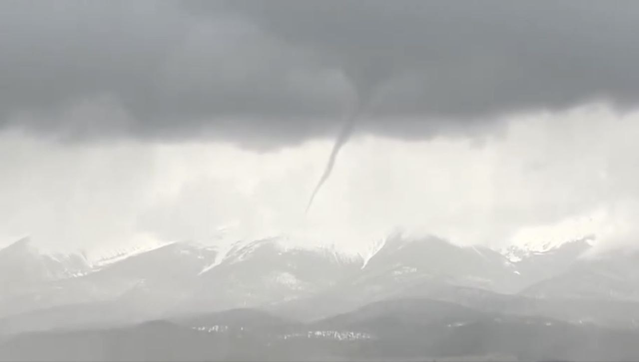
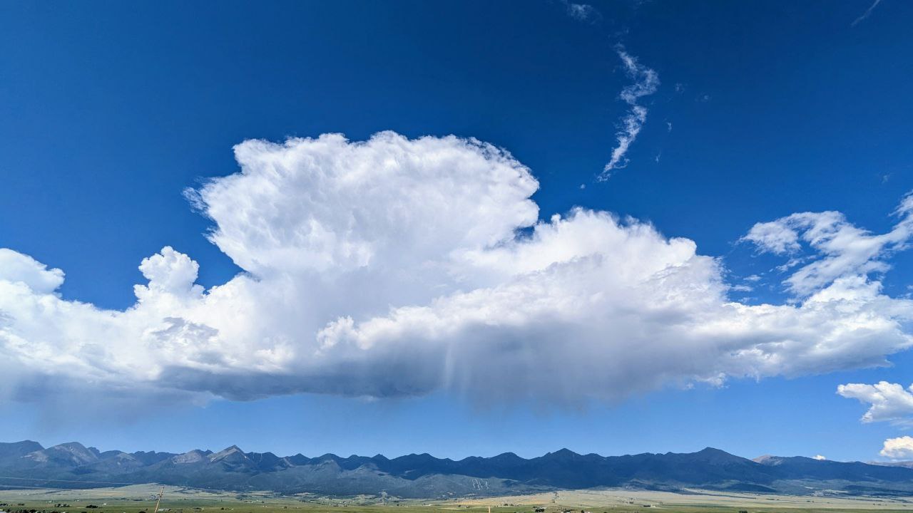
Photo by Jeremiah Trujillo KK0TX
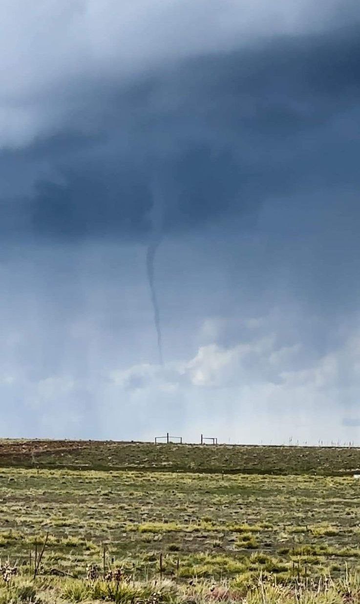
Photo by Jeremiah Trujillo KK0TX
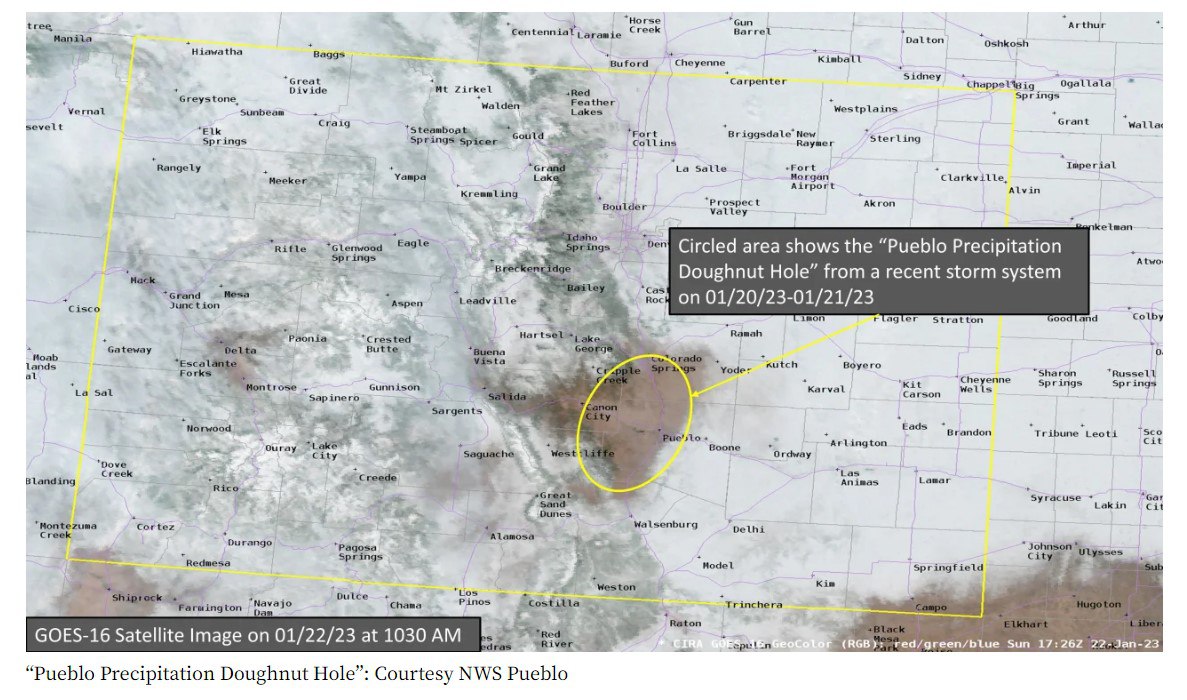
Donut hole cloud formation over Pueblo - Photo by Gary Maier NC2WX
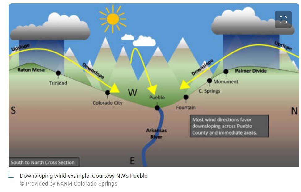
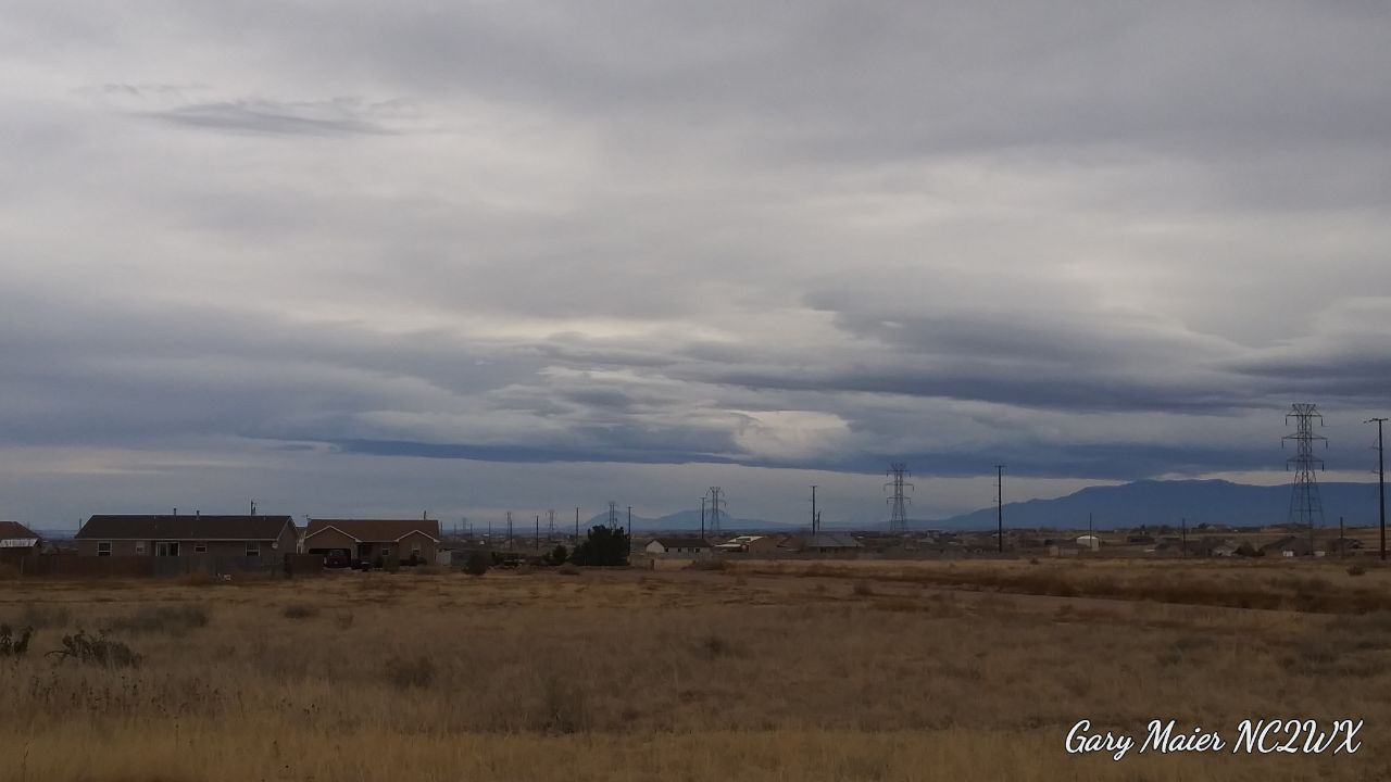
Downslope clearing over Pueblo (related to donut hole formation) - Photo by Gary Maier NC2WX
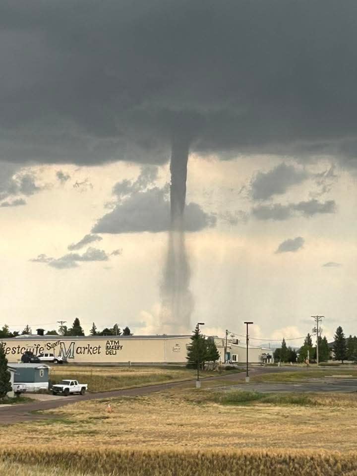
Weather near Westcliffe - Photo by Jeremiah Trujillo KK0TX
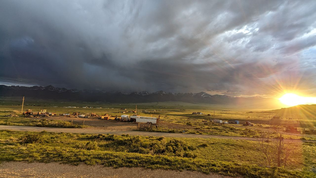
West Wet Mountains - Photo by Jeremiah Trujillo KK0TX
West Wet Mountains - Photo by Jeremiah Trujillo KK0TX
SKYWARN spotter Gary Maier NC2WX - Photo by Gary Maier NC2WX
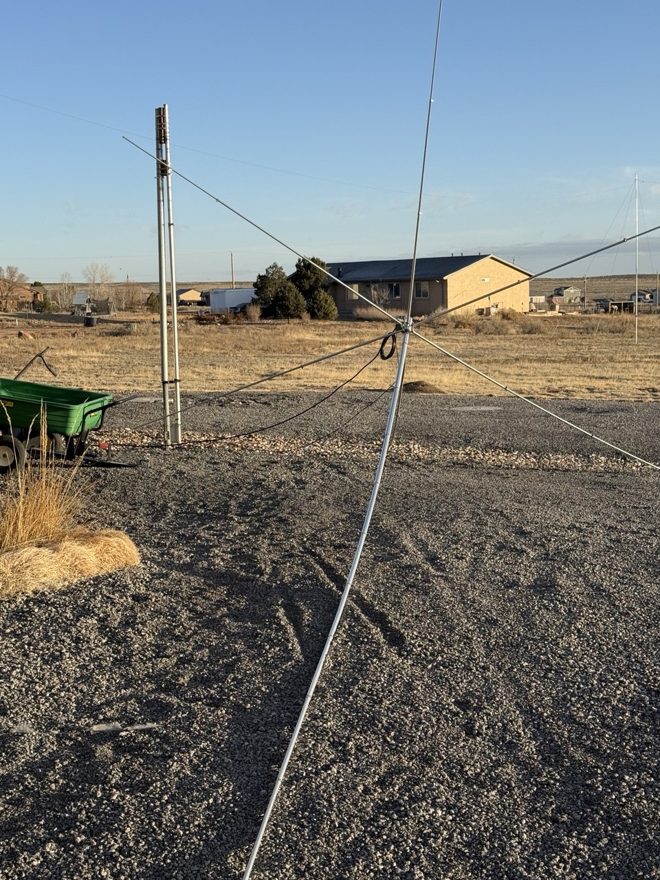
Weather information - Photo by Gary Maier NC2WX
Stream conditions - Photo by Gary Maier NC2WX
Wind damage - Photo by Kat Hickman W0KPH